
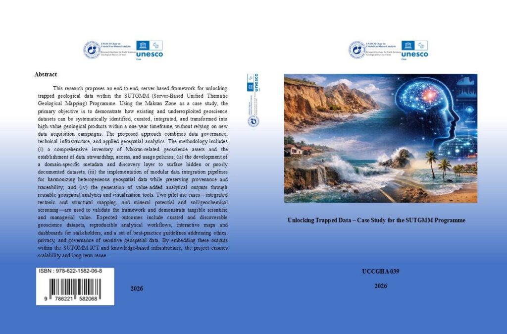
Unlocking Trapped Data – Case Study for the SUTGMM Programme
Unlocking Trapped Data Through the SUTGMM Programme
Unlocking Trapped Data is the subject of a scientific report developed by the Research Institute for Earth Sciences in cooperation with the UNESCO Chair on Coastal Geo-Hazard Analysis.
The report presents an end-to-end, server-based framework for identifying, curating, integrating and analysing fragmented or underutilized geoscientific data within the Server-Based Unified Thematic Geological Mapping Programme, known as SUTGMM.
Using the Makran Zone as a case study, the research demonstrates how existing geological information can be transformed into accessible, interoperable and high-value scientific products without relying on new data-acquisition campaigns.
The Challenge of Trapped Geoscientific Data
Large volumes of geological, geophysical, geochemical, remote-sensing and exploration data have been generated for the Makran region by governmental agencies, academic institutions and industry stakeholders.
Despite their scientific and economic importance, many of these datasets remain fragmented across different institutions, stored in incompatible formats or accompanied by incomplete metadata.
This condition is described in the report as “trapped data”: information that exists and may hold considerable value but cannot be efficiently discovered, integrated, analysed or reused.
The main barriers identified in the report include:
- Institutional fragmentation of data repositories
- Inconsistent formats and coordinate systems
- Incomplete or unavailable metadata
- Limited interoperability between datasets
- Weak data-governance and access mechanisms
- Legacy geological maps stored in analogue or semi-digital formats
These limitations reduce the efficiency of scientific research, restrict integrated geological interpretation and may lead to unnecessary repetition of previous data-acquisition activities.
A Server-Based Framework for Geological Data Integration
The proposed SUTGMM framework focuses on activating existing data rather than expanding the volume of available information.
The approach combines data governance, technical infrastructure, metadata management, geospatial processing, remote sensing and machine-learning methods within a centralized server-based environment.
The principal stages of the framework include:
- Identifying and cataloguing available geoscientific datasets
- Evaluating data ownership, access conditions and usage restrictions
- Georeferencing and digitizing legacy geological maps
- Enriching datasets with standardized metadata and provenance records
- Harmonizing coordinate systems, spatial resolutions and geological terminology
- Integrating raster, vector, tabular and geophysical datasets
- Applying machine-learning classification and geospatial analysis
- Producing interactive maps, dashboards and decision-support products
The framework is designed to preserve data lineage and traceability so that users can identify the source, processing history, quality and limitations of each resulting dataset.
The Makran Zone Case Study
The Makran Zone was selected because of its complex geological setting, strategic coastal location and extensive but fragmented geoscience records.
The study area includes the geological sheets of Kahir, Pir Sohrab, Konarak and Chabahar, together with an additional buffer zone designed to preserve geological and structural continuity across artificial map boundaries.
The Makran region represents an active subduction system in which the Arabian Plate descends beneath the Eurasian Plate. Its geological complexity includes accretionary wedges, major fault systems, folded sedimentary units, coastal deposits and structurally controlled landforms.
This complexity makes the region an appropriate pilot area for testing integrated geological mapping, multi-source data harmonization and server-based geospatial analysis.
Remote Sensing and Machine Learning
The SUTGMM workflow integrates legacy geological information with several Earth-observation datasets, including:
- Sentinel-1 Synthetic Aperture Radar imagery
- Sentinel-2 multispectral imagery
- Landsat 8 data
- ASTER products
- SRTM Digital Elevation Models
These datasets are used to derive spectral, textural, topographic and structural indicators relevant to geological mapping.
Extracted features may include mineral-sensitive spectral indices, surface-texture measures, slope, aspect, curvature, drainage density, lineament density and terrain-position indicators.
Supervised machine-learning methods such as Random Forest, Support Vector Machines and Gradient Boosting can then be used to classify lithological units and structural domains.
The preliminary results are reviewed against existing geological maps, expert interpretation and field observations. This iterative process allows the model to be refined and improves both statistical accuracy and geological reliability.
Pilot Applications
The report introduces two principal pilot applications for validating the framework.
The first application focuses on integrated tectonic and structural mapping. It combines geological maps, remote-sensing derivatives, fault data, topographic information and geophysical observations to improve the interpretation of faults, folds and tectonic domains.
The second application addresses mineral potential assessment and soil or geochemical screening. Lithological, structural, geochemical and terrain information is integrated to identify zones that may warrant further investigation.
These applications demonstrate how previously fragmented information can be transformed into reproducible and decision-supportive geological products.
Expected Outputs
The proposed Unlocking Trapped Data framework is expected to produce:
- Curated and discoverable geoscience datasets
- Unified thematic geological maps at multiple scales
- Harmonized geospatial databases
- Three-dimensional conceptual and subsurface models
- Mineral-potential and geochemical-screening layers
- Interactive geovisualization dashboards
- Machine-readable metadata and provenance records
- Reproducible analytical workflows
- Training materials and technical guidelines
- Ethical and governance guidelines for sensitive geospatial data
The project is designed as a one-year pilot programme, progressing from data inventory and georeferencing to harmonization, integration, machine-learning analysis, visualization, reporting and knowledge transfer.
Scientific and Strategic Importance
The project demonstrates that improving access to existing datasets can generate considerable scientific and institutional value without requiring costly new surveys.
Unlocking trapped geoscientific data can reduce duplication, strengthen reproducibility, improve regional geological interpretation and support evidence-based planning.
The framework may also contribute to mineral exploration, geohazard assessment, infrastructure planning, environmental management and sustainable resource development.
Because the workflows are modular and server-based, the methodology can be adapted to other regions facing similar problems of fragmented data, inconsistent standards and limited institutional interoperability.
Report Information
Title: Unlocking Trapped Data – Case Study for the SUTGMM Programme
Authors: Hamid Nazari, Ramin Abbasi, Saeed Arefipour and Jalal Karami
Employer: Research Institute for Earth Sciences
In cooperation with: UNESCO Chair on Coastal Geo-Hazard Analysis
Chairholder: Hamid Nazari
Head of the Executive Council: Morteza Talebian
Publisher: Khazeh Publication
First Edition: 2026
Number of Pages: 137
ISBN: 978-622-1582-06-8
Excerpt
Unlocking Trapped Data presents a server-based framework for identifying, harmonizing and transforming fragmented geoscientific datasets into accessible geological maps, analytical products and decision-support tools for the Makran Zone.
Download the Full Scientific Report